field-rendering.jerryio
Standardized VEX Field Rendering Images
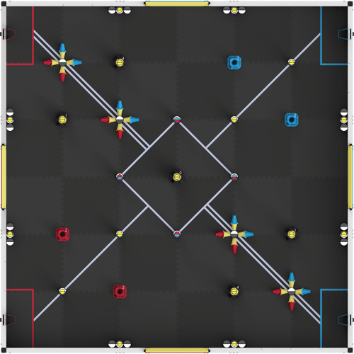
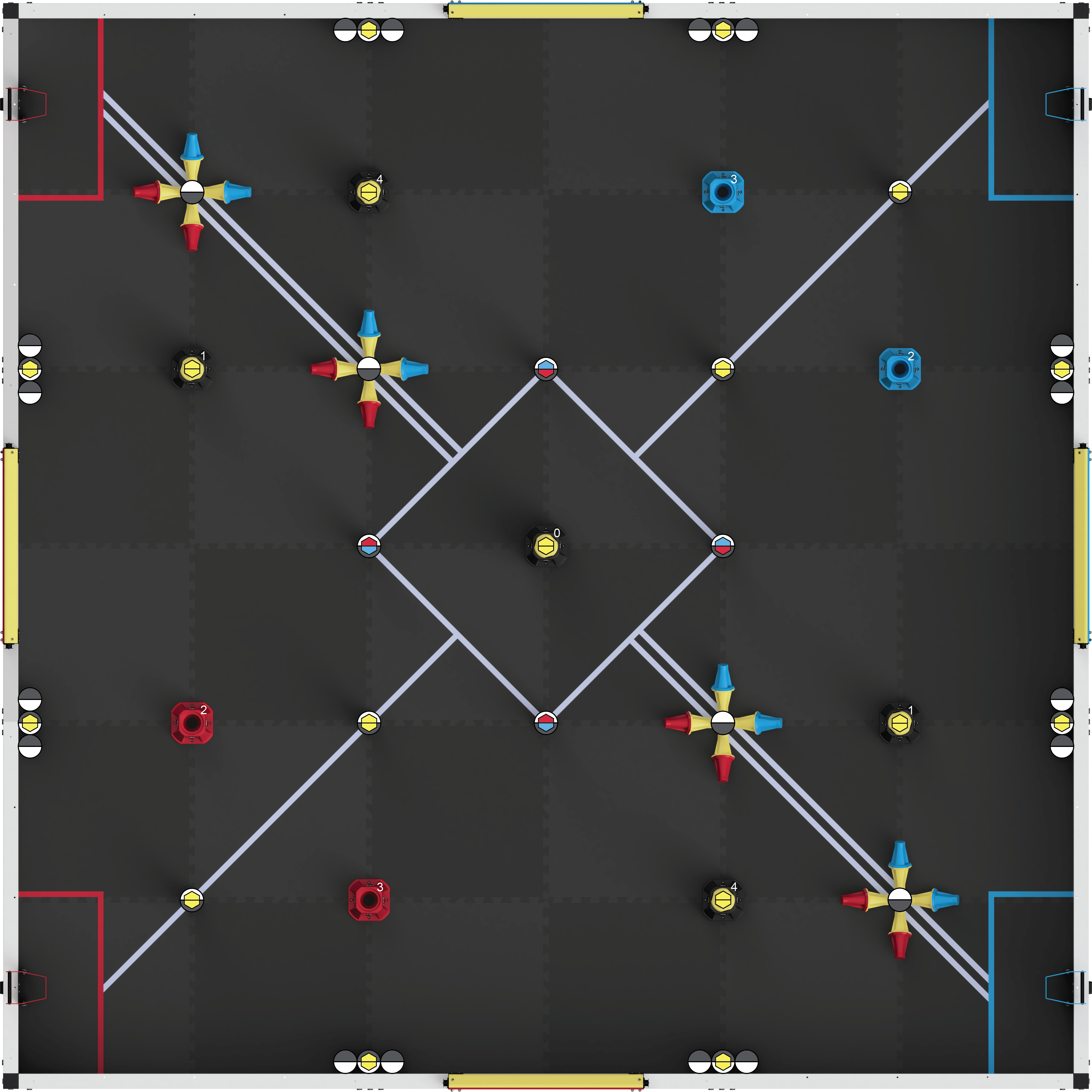
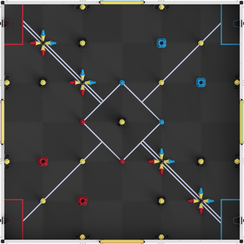
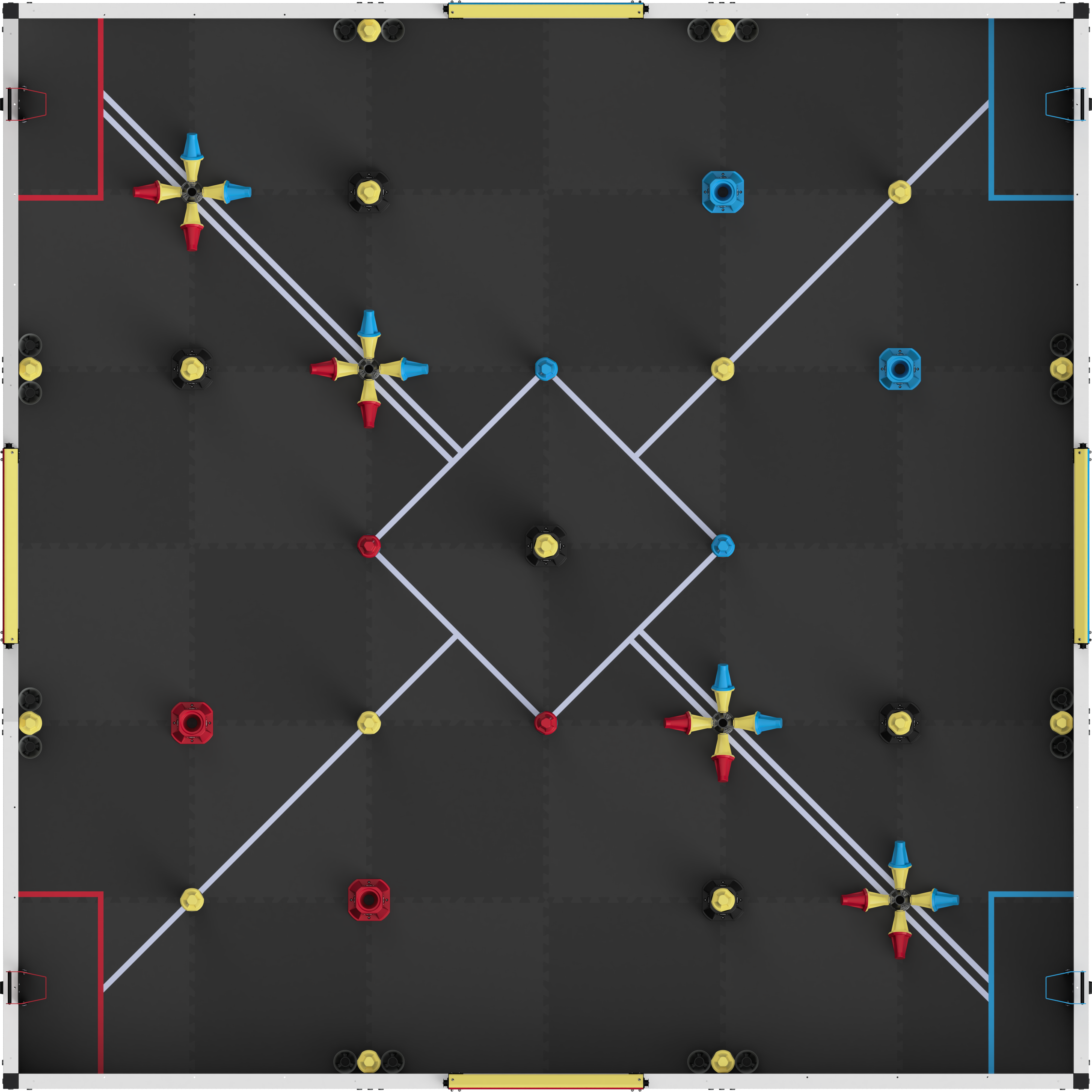
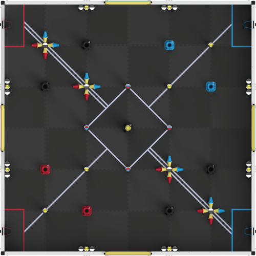
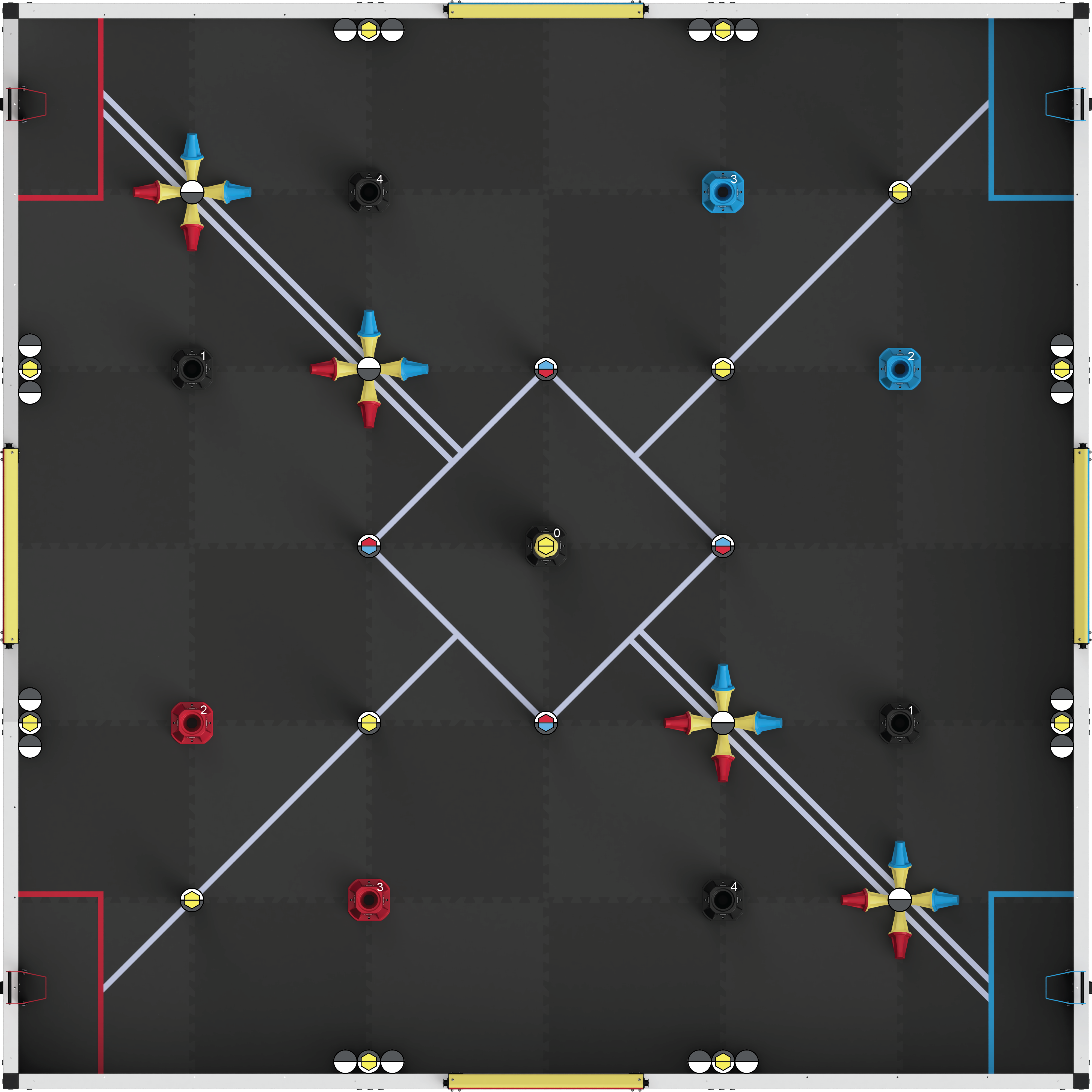
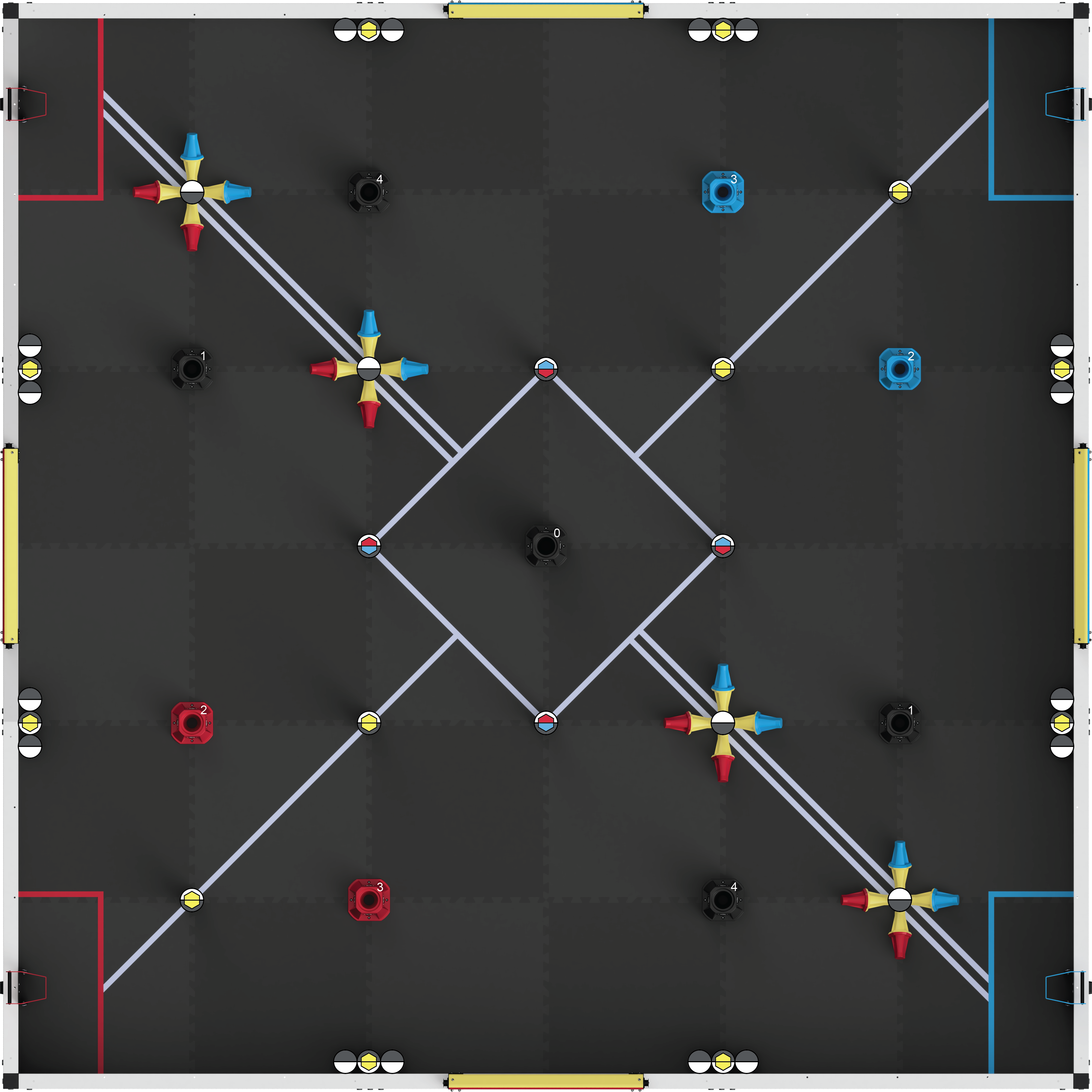
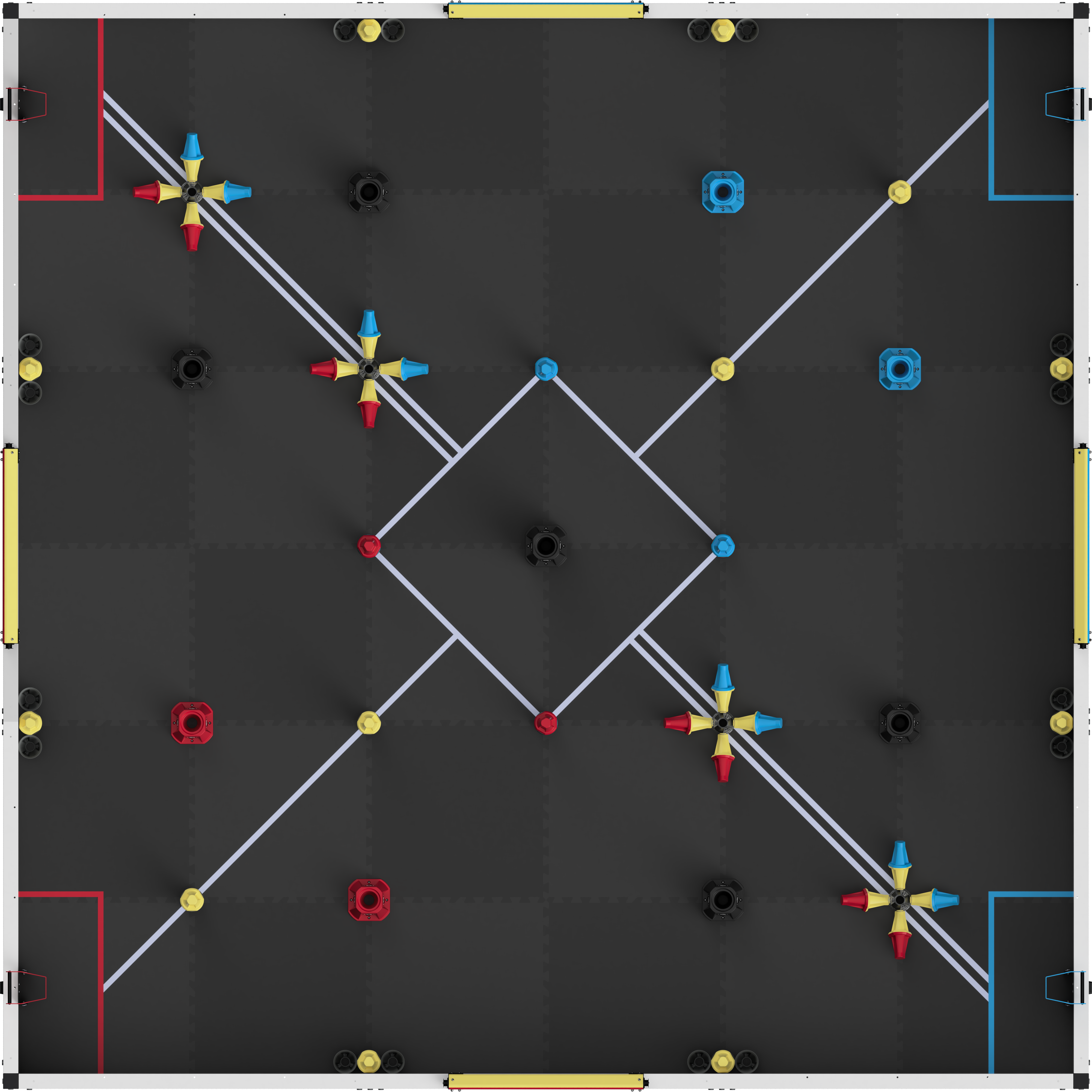
Highly accurate top-down views of the field, rendered with an orthographic camera and a fixed extent. Perfect for engineering notebooks and precise route planning in tools like PATH.JERRYIO, so waypoints map to expected coordinates in the physical field.
Rendered images and CAD files are distributed under CC BY 4.0 license. Join our Discord server to download CAD files and get updates. Source code available on GitHub.
VEX V5 · Override
8 results


